Trending

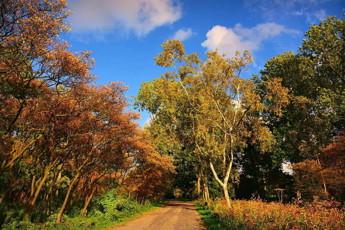
Every few autumns, Britain gets a reprieve. The heating goes on for a week, then the windows come open again. Coats are shed, the last tomatoes ripen, and someone at the bus stop says the words: "Bit of an Indian summer, this."
It is one of the most misused phrases in British weather talk. A single mild afternoon in September is not an Indian summer, and neither is a muggy southerly that arrives with cloud and drizzle. The real thing has a particular shape — a settled, dry, unusually warm spell that turns up after the season has already begun to bite. Here is what drives it, and how to tell whether the warmth outside your window qualifies.
An Indian summer is a warm, calm, dry spell in autumn, arriving late in the season and usually after a cooler snap. The term has been used in North America since at least the late eighteenth century, and its exact origins are disputed. In Britain it has long been joined by older, homegrown names such as St Martin's summer, around 11 November, and St Luke's summer in mid-October.
The sequence matters more than the calendar date. Warmth in early September is often just summer running late. A genuine Indian summer comes after you have already felt the turn: a first frost, a run of grey days, the morning the car needs scraping. Then the pattern flips back — and the warmth feels borrowed rather than earned.
Nearly every British warm spell in October and November starts with an anticyclone — a large area of high pressure that parks itself over or close to the country and refuses to move. Inside it, air sinks slowly from higher up. Sinking air compresses and warms, and as it warms it holds on to its moisture rather than releasing it as cloud. The result is what forecasters call subsidence: clear or hazy skies, light winds and very little rain.
That high also acts as a barrier. Atlantic weather fronts that would normally sweep across Britain are pushed north or steered around the edges, and depressions stall out over the ocean. For days at a time the chart shows a big bullseye of high pressure, with isobars so widely spaced that there is barely enough breeze to move a wind chime.
High pressure alone gives you settled weather, not necessarily warm weather — a January anticyclone can bring hard frost. What turns a calm spell into a warm one is where the air has come from. On the western side of a high sitting to the east of Britain, the flow runs up from the south or south-east, dragging air that has spent time over southern Europe or the near Atlantic. With a high anchored to the west, a southerly or south-westerly drift brings mild ocean air instead.
Britain also has a head start in autumn. The surrounding seas are close to their warmest of the year in late summer and cool only slowly, and the land has been storing heat for months. October sunshine may be weaker and lower than July's, but with cloudless skies it still warms the ground efficiently — and it faces less competition from a cold landscape than it would in December.
An Indian summer has a distinctive rhythm. Mornings are often misty, damp and decidedly cool, with fog pooling in river valleys and heavy dew on the grass. The sun burns that off by mid-morning, and the warmest part of the day arrives later than it does in high summer, often between two and four in the afternoon. Then, once the sun drops, the temperature falls away quickly, because clear skies and light winds let the ground radiate its heat straight back into space.
That gives a large gap between day and night — a spread of ten degrees Celsius or more is common — and it means shade feels very different from sun. Sitting on a south-facing bench you may be in shirt sleeves; two metres away, under a tree, you will want a jumper.
Use these checks before you credit the weather with anything special:
Miss the first two and you have a pleasant day, not an Indian summer.
Everything depends on the jet stream — the fast ribbon of wind high in the atmosphere that steers our weather systems — and on whether the atmosphere settles into a blocked pattern. Some autumns it sits far to the north and high pressure builds over Europe. Others it runs straight across the Atlantic, and Britain gets a conveyor belt of low-pressure systems instead. Blocking patterns are notoriously hard to forecast more than a week or so ahead, which is why an Indian summer is usually recognised in hindsight and rarely promised in advance.
Treat it as a bonus week rather than a new season, because the pattern can collapse within a day once the high drifts away and a front arrives behind it.
Watch the overnight forecast as closely as the daytime one. Clear, still nights in late autumn bring a real frost risk in rural spots even when the afternoon reached 18°C, so cover or move in tender plants before dusk. Pots and raised beds are far more exposed than open ground.
It is also ideal weather for jobs the rain has been putting off: the last grass cut, clearing gutters, painting, washing down garden furniture. Grass keeps growing while temperatures stay in the teens, so mow lightly rather than scalping it, and water anything newly planted — a dry high-pressure spell can be as parching as a summer one.
Two practical warnings. Air quality often deteriorates in stagnant autumn high pressure, particularly in towns, so if you have a heart or lung condition, check local readings before a long run or a bonfire and take advice from your GP if you are unsure. And fog can form quickly on still nights, so allow extra time for morning journeys and use dipped headlights rather than sidelights.
Above all, spend the warm hours outdoors. The window is short, the light is lovely, and by the time the high finally gives way you will be back to scraping the windscreen.
Photo: MabelAmber / Pixabay