Trending

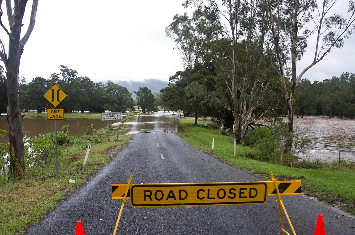
Every few winters, the same conversation starts. The wind seems stronger than it used to be, the rain heavier, the floods more frequent. A storm gets a name, a river overtops its banks, and someone says the weather never used to be like this. Sometimes they are right. Sometimes they are comparing a quiet decade they have forgotten with a loud one they have just lived through.
The UK sits on the eastern edge of the North Atlantic, directly in the path of the jet stream. That position guarantees a lot of weather, and a good deal of it is genuinely stormy. So how much of what we notice is a trend, and how much is the ordinary churn of a maritime climate? The honest answer depends on which part of "stormy" you mean. The evidence is far stronger for rain than it is for wind.
"Stormier" is doing a lot of work for a single word. It can mean any of these, and they do not move together:
Rainfall has an unusually long record to work with. Wind measurements are patchier, and impact figures are shaped by money and building as much as by weather. Keep the four measures separate and most arguments about "stormier" resolve themselves fairly quickly.
The UK holds one of the longest rainfall records anywhere. The England and Wales series runs back to 1766, and the UK-wide series to 1910. That is long enough to say something meaningful about how rain behaves rather than guessing from a handful of wet years.
Those records show a modest upward drift in annual totals, but the more interesting change is in how the rain arrives. A larger share of the total now falls in heavy events. The light, persistent drizzle that soaks a Scottish hillside over three days has not changed much. The downpours have got bigger. That matters, because heavy rain is what overwhelms drains, saturates slopes and fills rivers quickly.
The seasonal shift leans towards winter. Winters have become wetter on average, and the standout examples — southern England in 2013–14, the north and west in 2015–16 — sit at the extreme end of the record. They were not merely wet; they were wet in a way that had few close comparisons.
Geography matters as much as trend. Westerly winds drop their moisture on the uplands of Wales, Cumbria and western Scotland first, so a change in circulation produces very different totals in Fort William and Ipswich. If you want to know whether your corner of the country is getting wetter, you need a local series. A UK average will hide it.
This is where the story becomes less satisfying. The observational record for severe windstorms is short, noisy and hard to keep consistent. Instruments changed, measuring sites moved, and a storm that would have passed unremarked in 1975 now arrives with a name, a forecast and a rolling news feed.
When researchers examine the frequency of deep low-pressure systems in the North Atlantic, they do not find a clear, consistent upward trend across the past century. There is some evidence that storm tracks have shifted slightly north and that the jet stream's average position has moved, but these signals are modest, and they vary depending on which dataset you use and which decades you compare.
Climate projections say something similar. Models agree far more strongly on heavier rainfall than on more frequent severe windstorms. That is not a promise that wind will never cause trouble. It is a warning that "more storms" is a claim the wind data does not clearly support — at least not yet.
Insurance losses from UK storms have risen steeply, and that rise is often presented as proof of stormier weather. It is not. Losses climb with inflation, with population, with the value of what sits in a storm's path, and with where we choose to build. A moderate storm hitting a new housing estate produces a far bigger bill than a severe one crossing farmland in 1960. Sea level rise adds another layer: the same surge now reaches further inland than it would have done a century ago, which is why barrier closures and tidal flood alerts have become more routine.
The UK and Ireland began naming storms in 2015–16, and the scheme has worked. People take a warning more seriously when the storm has a name, and the shared vocabulary helps forecasters and emergency planners talk to the public.
It has a side effect, though. Named storms are countable, shareable and memorable, which makes it very tempting to line up a season's names against an old winter and conclude that things have got worse. You cannot compare the two. Pre-2015 winters live in the meteorological record, not in your feed, and unnamed storms fade from memory within days. A busy season of named storms might mean more storms, or it might mean more systems happened to meet the naming criteria over populated parts of the UK and Ireland. Both are possible, and the count alone will not tell you which.
UK weather swings hard from year to year, and that variability is big enough to swamp a slow underlying trend across any single decade. A run of three quiet winters proves nothing. So does one dramatic one.
The mechanism behind much of this is the North Atlantic Oscillation, a see-saw in atmospheric pressure between the Azores and Iceland. When it is positive, the jet stream runs strongly across the Atlantic and we get mild, wet, windy winters. When it is negative, the jet stream buckles and cold air can spill down from the north or east. Neither state is new, and both can persist for a few winters at a time.
This is why a snowy winter does not disprove a warming climate, and why a stormy one does not confirm a trend. A single winter is a data point. A pattern needs decades.
If you want to judge claims about UK storminess without relying on headlines, a few habits will carry you a long way:
So is the UK getting stormier? On rainfall, the direction of travel is fairly clear and it points towards heavier, more concentrated downpours, especially in winter. On wind, the record is not yet saying that. What has definitely changed is how much we notice — and noticing is not the same as measuring.
Photo: sandid / Pixabay